
Crowdsourcing with mobile techniques for crisis support
- Published
- Accepted
- Subject Areas
- Databases, Social Computing, Spatial and Geographic Information Systems
- Keywords
- natural processes, crowdsourcing, mobile, citizens and volunteers
- Copyright
- © 2016 Frigerio et al.
- Licence
- This is an open access article distributed under the terms of the Creative Commons Attribution License, which permits unrestricted use, distribution, reproduction and adaptation in any medium and for any purpose provided that it is properly attributed. For attribution, the original author(s), title, publication source (PeerJ Preprints) and either DOI or URL of the article must be cited.
- Cite this article
- 2016. Crowdsourcing with mobile techniques for crisis support. PeerJ Preprints 4:e2274v1 https://doi.org/10.7287/peerj.preprints.2274v1
Abstract
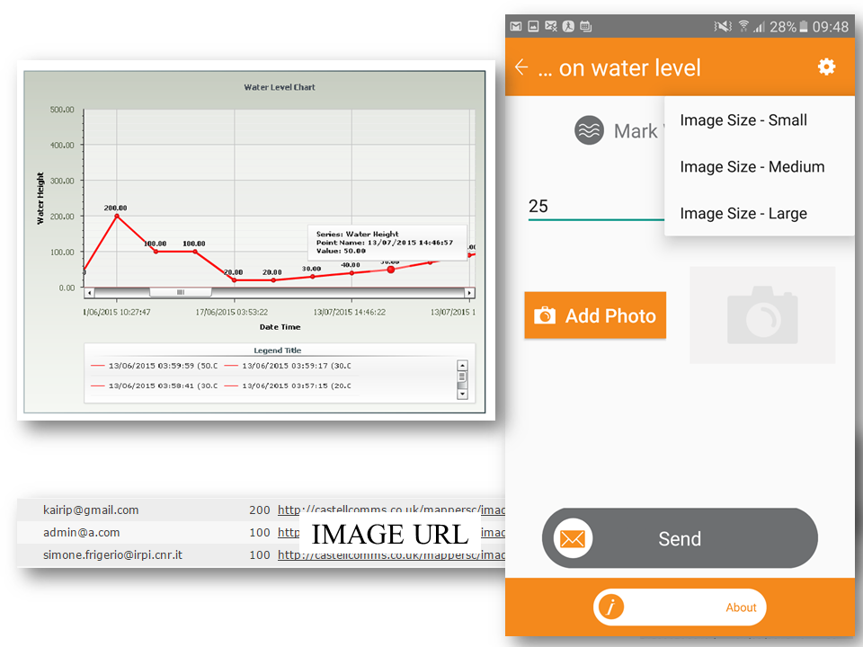
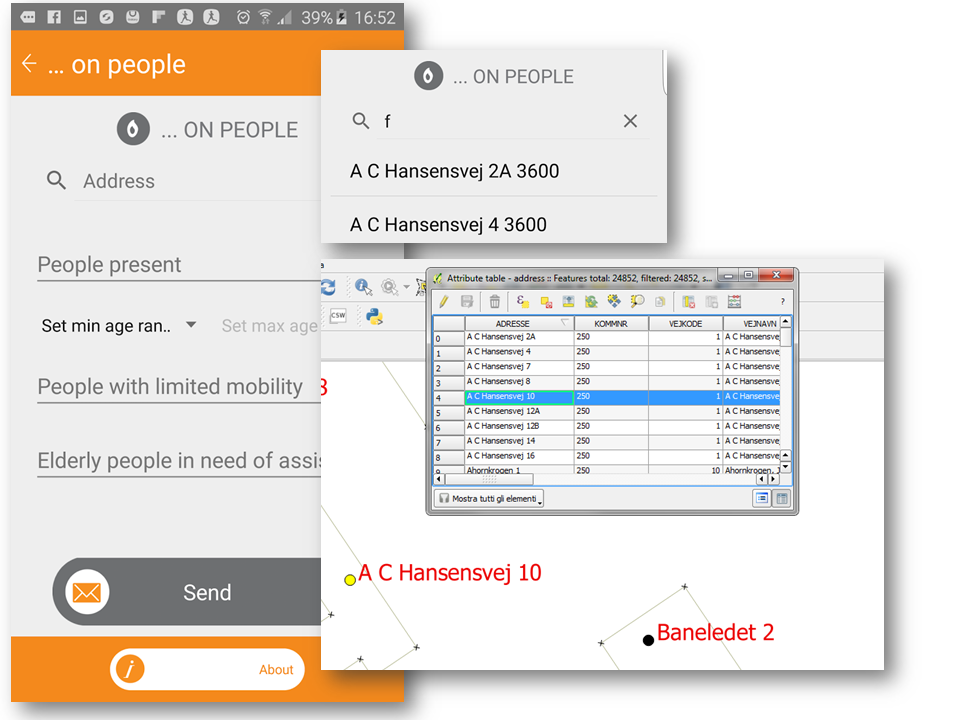
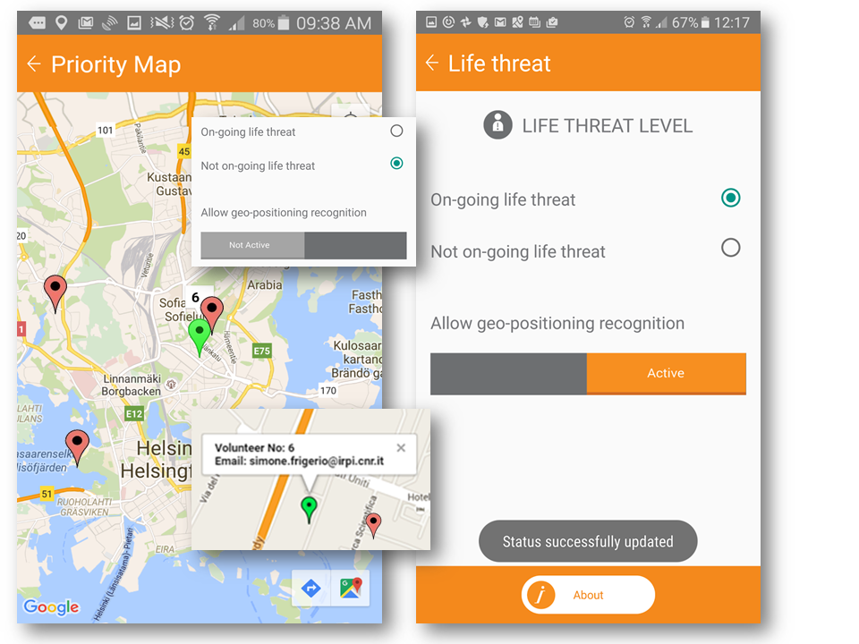
Within natural processes responsibilities from central authorities to local levels as first actors of civil protection is a changing pattern. Prevention and preparedness are long-term goals in natural hazards, based on capacities of professional volunteers, and awareness of the citizens as local inhabitants. MAppERS is based on human role as “crowd-sourced mappers” through mobiles application. The feedback from testing and the training courses aim to raising participation in a networked disaster response. The aim is designing and testing an app for mobile with a real-time dashboard platform for public citizens and volunteers of civil protection. Two pilot sites, including trainings on modules fixing, control usability and quality of the product. The synchronized platform offers the activity of cloud data collection with a central data dashboard. A first context of floods processes gathers data in simulations, with crowdsourcing achievement from local population, for proper awareness and long-term preparedness. A second context tests pre-emergency actions on field with rescue team, collecting state-of-art and condition of hazards.
Author Comment
This is an article intended for the OGRS2016 Collection. Session: Citizen science and user generated geospatial content