Detection of degenerate points on the surface
- Published
- Accepted
- Subject Areas
- Computational Science, Spatial and Geographic Information Science
- Keywords
- Landslide, critical points, land surface
- Copyright
- © 2018 Jenčo
- Licence
- This is an open access article distributed under the terms of the Creative Commons Attribution License, which permits unrestricted use, distribution, reproduction and adaptation in any medium and for any purpose provided that it is properly attributed. For attribution, the original author(s), title, publication source (PeerJ Preprints) and either DOI or URL of the article must be cited.
- Cite this article
- 2018. Detection of degenerate points on the surface. PeerJ Preprints 6:e27097v1 https://doi.org/10.7287/peerj.preprints.27097v1
Abstract
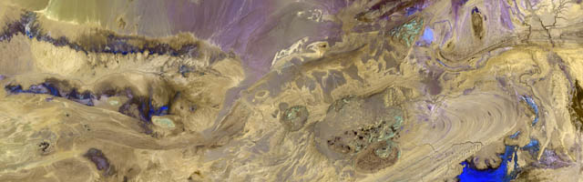
Landslides, bifurcations, multi-saddles and remnants of terraces are distinctive landforms. Some points on the surfaces of these objects are degenerate points. This may help us with their automatic recognition and identification. All first-order and second-order partial derivatives of analyzed function are necessary for detection of degenerate points. Terrain slope, curvatures and Hessian are required for classification of degenerate points. The paper is aimed at detection of fossil landslides. A point of landslide surface where the concave section of thalweg is turning into convex section of ridge line is a degenerate point. Two zero isolines of Hessian and zero isoline of profile, streamline and plan or tangential curvatures pass through this point. Final result of the detection procedure depends to a great extent on the quality of DEM and accuracy of derivatives.
Author Comment
This is a preprint submission to PeerJ Preprints.